Is a customised GIS application linked to the other advangeo® products for visualisation of spatial data using either Esri ArcGIS or SharpMap.
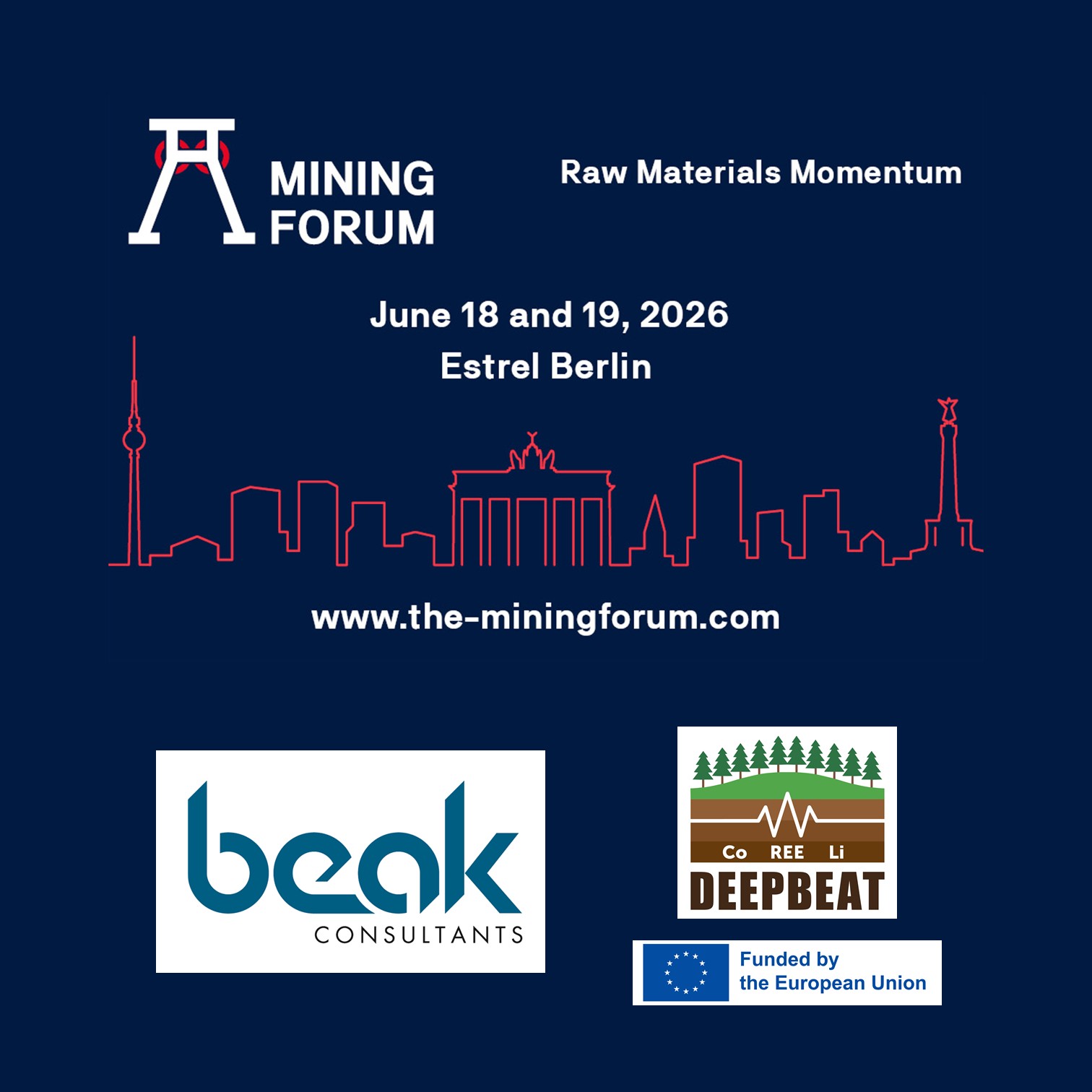
MiningForum 2026
DMT MiningForum 2026 Beak presents “DeepBEAT – Deep Exploration in the Erzgebirge” 18th – 19th June 2026, Berlin (Germany) Beak…