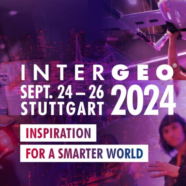
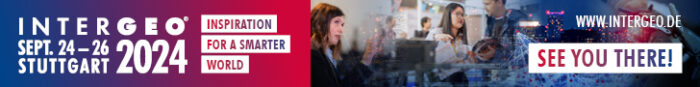
Beak presents S34I and LauMon projects
24th – 26th September 2024, Stuttgart (Germany)
From 24th to 26th September 2024, Messe Stuttgart will be the beating heart of the geospatial community. INTERGEO, a world-leading event for geodesy, geoinformation and land management, gathers together experts and visionary minds from all over the world. With 600 international brands, industry leaders, associations and start-ups, INTERGEO is underlining its position as number one in the geospatial community. The event promotes dialogue between these key stakeholders, encouraging them to network, cooperate and work together to shape the future. As an international platform, INTERGEO offers a global perspective and facilitates cross-border collaboration, with a view to making full use of the potential offered by geo-information technologies and coordinating a collective response to global challenges.
More information about the event can be found here: https://www.intergeo.de/en/
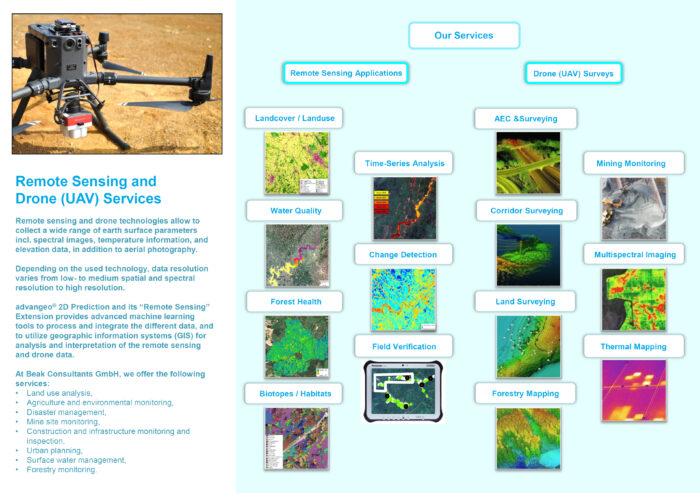
Beak is excited to be part of INTERGEO 2024 as exhibitor and present an overview of our consulting services for remote sensing, data integration and machine learning applied to mineral exploration, environmental mapping and geo-hazard forecasting. Meet us in Hall 3 – Booth G3.013 at the Exhibition!
Besides this, we will be showcasing our current developments in the research project “S34I – Secure and Suustainable Supply of Raw Materials for EU Industry”, co-funded by European Commission through its Horizon Europe programme. Furthermore, we will present the research project “LauMon – Monitoring landscape surfaces and biodiversity using drone and satellite data in the Lusatia model region” co-funded by the German Federal Ministry of Education and Research (BMBF) under the WIR programme.
S34I was launched in January 2023. S34I is a 30-month European project coordinated by University of Porto and it will research and innovate new data-driven methods to analyse Earth Observation (EO) data, supporting systematic mineral exploration and continuous monitoring of extraction, closure and post-closure activities with the aim to increase European knowledge and autonomy on raw materials resources. S34I will also support mining’s social acceptance (SLO) and better legislation.
S34I will exploit Copernicus and other satellite sensors (optical and radar), while other platforms as airborne, low altitude platforms, ground-based, in-situ techniques/methods, and fieldwork will serve either for calibration, validation or to complement Copernicus data especially at the very high scale spatial or spectral resolution.
Innovative EO-based products/services will provide new or more accurate mineral mapping/exploration, environmental and mine monitoring and mine safety, at different phases of the mine life cycle.
S34I will provide 6 new open high added value datasets, 14 new methods to analyse EO data using Artificial Intelligence being utilized at different phases of the mining life cycle, 3 new prototyped EO based services for mining stakeholders, 1 research and innovation agenda on EO for mining, a set of recommendations for better policy, and guidelines for EO uptake by the mining industry.
More information about the project and our partners can be found here: https://s34i.eu/
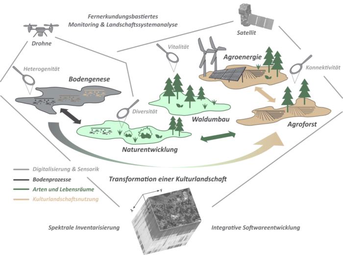
Within the LauMon project, a complete, remote sensing-based monitoring system is to be developed at the level of the Lusatian cultural landscape, which integrates different landscape components in order to document exchange processes and interactions between ecosystems in the process of the transformation of a complex cultural landscape promoted in the Land-Innovation-Lausitz alliance and is available to the alliance and the region on the basis of a data management product in the form of a geoportal (LIL portal).
More information about the project and our partners can be found here: https://lausitz-monitoring.de/