31st Beak Symposium
Presentation schedule and registration link
7th May 2025, Freiberg (Germany)
It is our pleasure to invite you to our 31st Annual Beak Symposium on 7th May 2025, which will be held as hybrid event – both on-site in Freiberg in person at our premises at GIZEF and in parallel online as webinar with Microsoft TEAMS.
Topics to be presented will cover:
- Remote Sensing for Mineral Exploration and Mapping of Acidic Water
- Sustainable Landscape Management using Drone and Satellite Data
- Geochemical Prospection in Southeastern-Guinea
- advangeo® 2D and 3D Prediction News
- Critical Mineral Assessment in the United States
- Deep Mineral Exploration using Modern Geochemistry
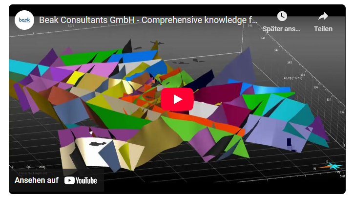
- 3D Structural Modelling of Lugau-Oelsnitz
- Geo-Electrical Methods for Structural Modelling in Open Pits
- Regionalisation of Geochemical Point Data in Ground Water
The detailed presentation schedule is now available here: Schedule
For registration, please use the following link: Registration
The event is free of charge and will start at 9 AM CEST.
We are looking forward to your participation!